fsublog
Monday, April 18, 2011
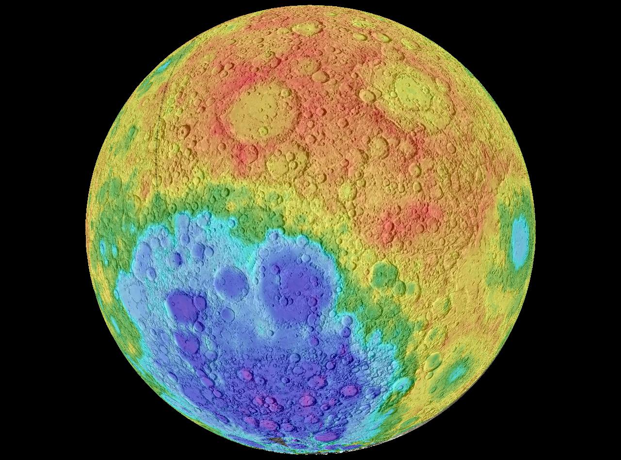
Hypsometric maps
Hypsometric maps are a variant on contour lines. They depict ranges of elevation as bands of color, usually in a graduated scheme. This hypsometric map, provided by NASA, shows the varrying elevation on the moon.
http://reference.findtarget.com/search/NASA%20World%20Wind/
No comments:
Post a Comment
Newer Post
Older Post
Home
Subscribe to:
Post Comments (Atom)
No comments:
Post a Comment