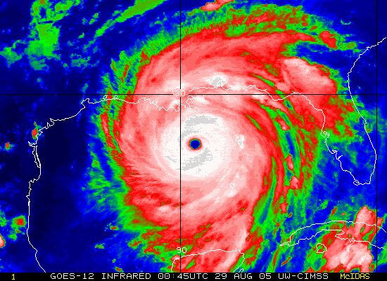
Cartographic animations are used in animated maps with computer graphics to include an image usually showing time. Some examples are animation of the Japanese tsunami’s waves spreading across the Pacific Ocean or a Hurricane Katrina coming across the Gulf of Mexico to slam into New Orleans. This image shows the later.
http://www.lightrailnow.org/news/n_newslog004.htm

No comments:
Post a Comment